Project Overview:
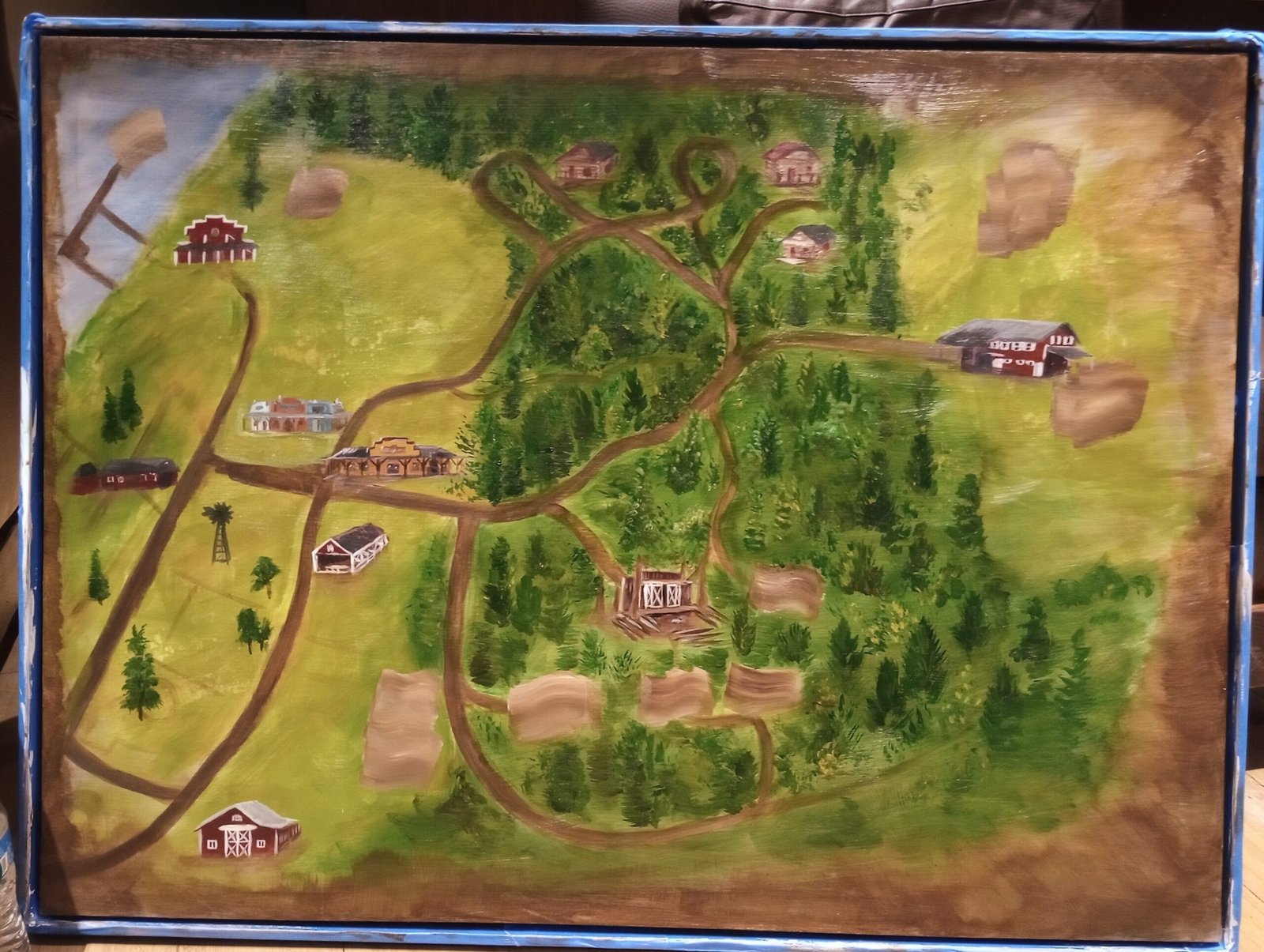
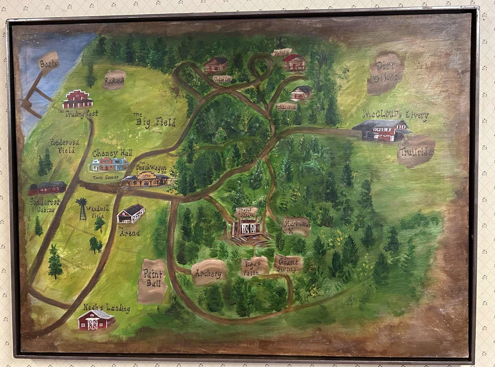
This large-scale custom canvas is a hand-painted, illustrated property map created for a summer camp. Designed to be both functional and a central piece of camp folk art, the piece translates trails and camp facilities into an approachable storybook-style aerial view. Years after completion, it remains hanging in one of the camp’s main public gathering areas.
Quick Specs
- Project Type: illustrated property map
- Materials: Acrylic on large canvas
- Subject: Summer camp grounds, trails, cabins, and landmark buildings
- Key Details: Rustic log cabins, camp lodge, barns, winding dirt roads
Design & Process:
Translating the Grid to Canvas:
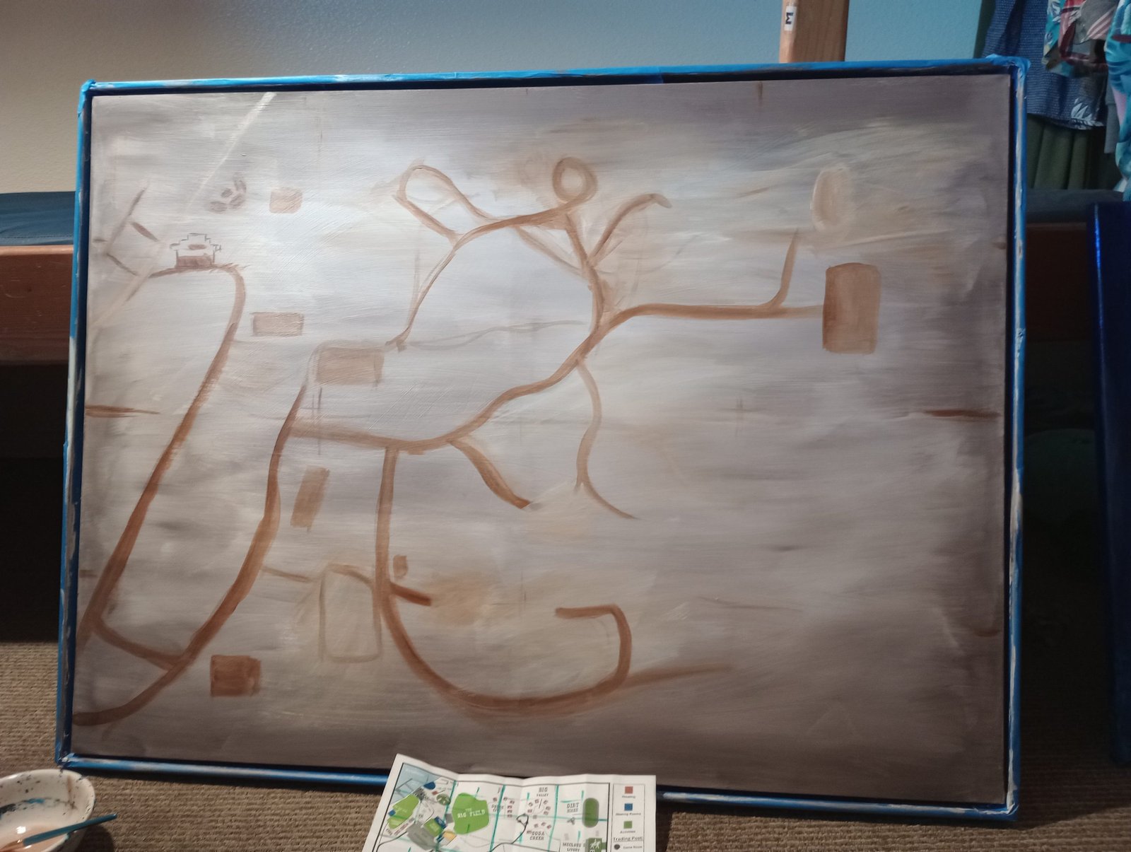
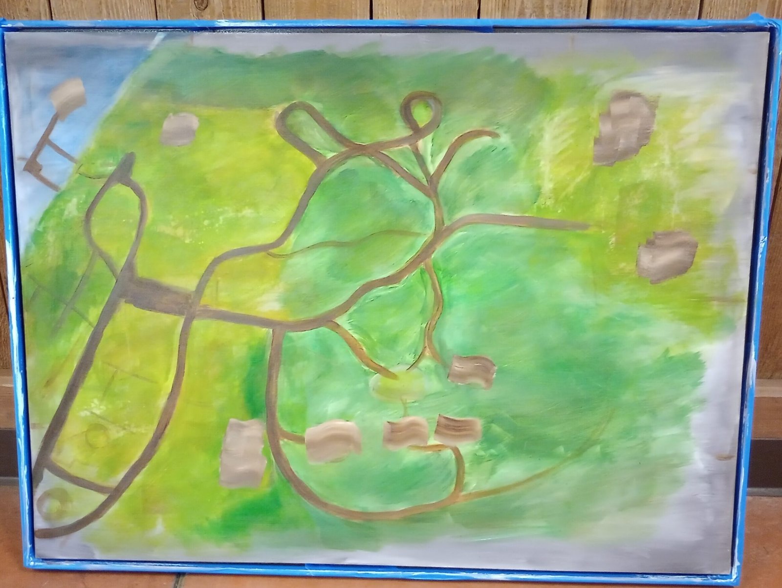
The project began by referencing the camp’s functional trail maps and property blueprints. The challenge was maintaining geographical accuracy so campers and staff could navigate the layout, while softening the hard geometry of a standard map into a warm, inviting landscape.
Establishing Trails and Zones:
The process moved through several structured stages:
- The Base Sketch: A warm, neutral undertone was laid down across the canvas. Thin lines established the primary dirt roads, loops, and footpaths connecting each sector of the grounds.
- blocking Layouts: Neutral patches were blocked out early to reserve footprint space for major structures, activity fields, and cabin clusters before foliage was introduced.
- Building the Natural Terrain: Gradients of meadow greens, moss tones, and warm earth washed across the open clearings. Clusters of evergreen trees were then painted in to define the dense forest borders and trail canopies.
Hand-Painted Architectural Details:
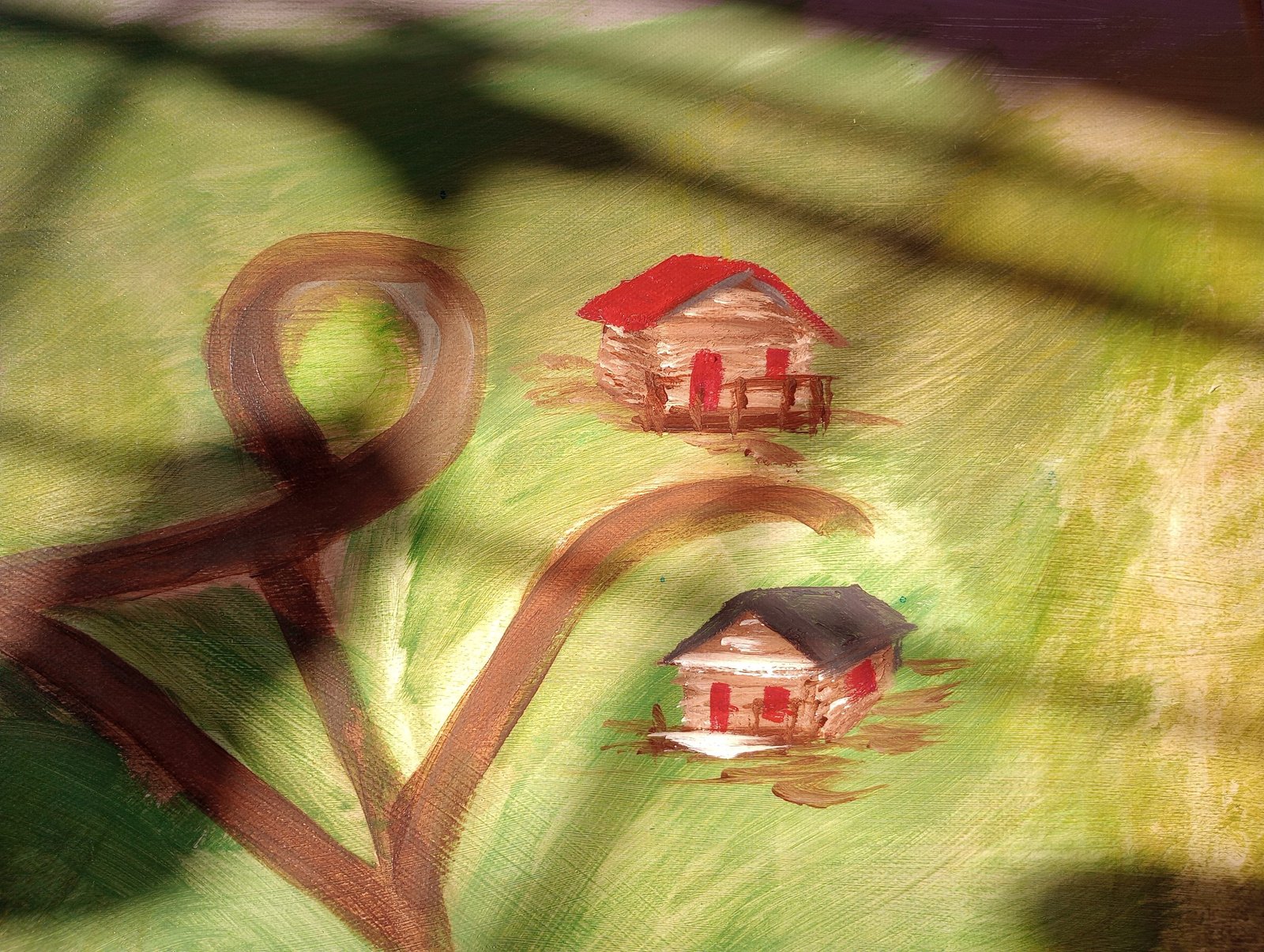
A miniature version of each building across the property was individually rendered for the map:
- Cabins & Lodges: Detailed with warm log siding, pitched dark shingle and red metal roofs, and wooden porch railings.
- Western Front & Outbuildings: The main town center, barns, corrals, and windmill were painted with distinct rooflines and facades so campers could easily spot recognizable camp hubs.
- Vintage Vignette Edge: The canvas perimeter was blended with soft burnt shading, giving the entire map an aged, rustic edge reminiscent of traditional field charts.
The Finished Installation:
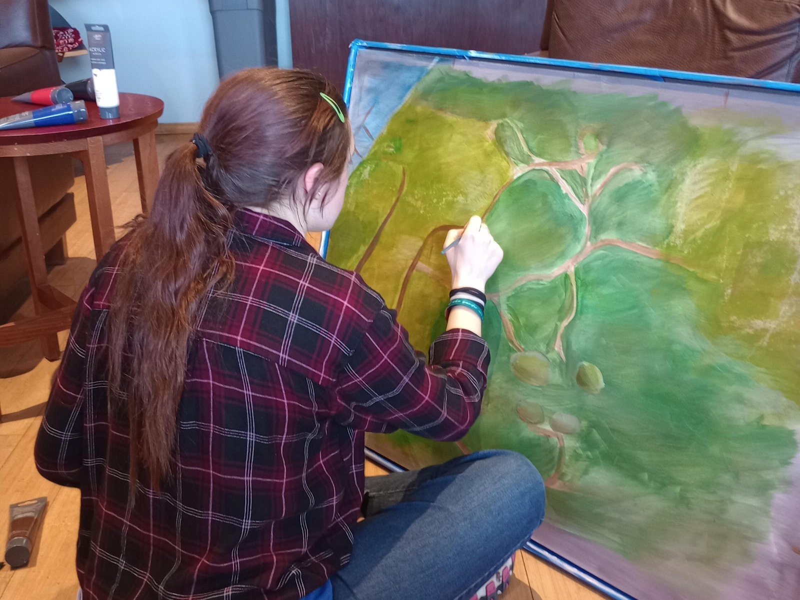
Displaying large-scale, hand-painted artwork in a communal space adds character that digital prints simply cannot match. Years later, the map continues to welcome visitors, orient new campers, and anchor the camp’s shared gathering space.